
Geospatial Technology Solutions
Helping organizations transform geospatial data into actionable intelligence through advanced engineering and data-driven innovation.
Turning location data into business intelligence
Location intelligence has become essential for understanding the world in real time. By integrating data from satellite imagery, LiDAR, GPS, GIS, and IoT sensors, we build scalable platforms that transform complex geospatial data into actionable insights for smarter planning, faster decisions, and better operational outcomes.
-

Earth Observation
-

GIS Platforms
-

Remote Sensing
-

Environmental Monitoring
-

Climate Analytics
-

Satellite Data Processing
-

Mapping & Visualization
-

Smart Cities
-

Infrastructure Planning
-

Geospatial Artificial Intelligence
Solving real-world geospatial challenges
Organizations working with geospatial data face growing volumes of spatial information, diverse data sources, real-time processing demands, and increasingly sophisticated analytical models. We help simplify this complexity by building scalable geospatial solutions powered by deep engineering expertise and advanced technologies.
-

Large-Scale Data Processing
We build scalable processing pipelines that efficiently manage high-volume geospatial and earth observation datasets while supporting faster analysis and decision-making.
-

Spatial Intelligence
We develop intelligent analytical solutions that uncover patterns, relationships, and insights from complex geospatial datasets.
-

Real-Time Monitoring
We help organizations monitor dynamic environments through continuous data acquisition, processing, and visualization.
-

Connected Mapping Platforms
We build modern GIS and mapping platforms that improve accessibility, collaboration, and operational decision-making.
-

Integrated Geospatial Systems
We integrate multiple geospatial data sources into unified platforms that improve accuracy, accessibility, and operational efficiency.
-

Research & Innovation
We translate advanced geospatial research into scalable engineering solutions that support scientific discovery and real-world applications.
Featured case studies
Explore how we have helped organizations solve complex geospatial challenges through advanced engineering, data science, and scalable software solutions.
-
Geospatial Technology
Turning climate data into actionable intelligence
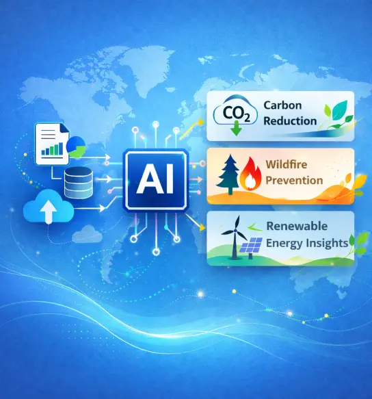
A global sustainability technology organization needed to transform years of environmental and sensor data into meaningful insights that could support climate research, disaster preparedness, and renewable energy initiatives. We engineered an intelligent climate intelligence platform that converted complex environmental data into scalable decision-support systems.
Solution areas
- Platform Engineering
- Data Engineering
- Data Science
- Artificial Intelligence (R&D)
-
Energy
Making global energy data more transparent and actionable
An energy technology startup set out to make electric grid information more transparent and accessible worldwide. We engineered a full-stack energy intelligence platform combining scalable data infrastructure, AI models, and real-time web applications to help teams monitor grid performance, identify faults, and make better-informed energy decisions.
Solution areas
- Platform Engineering
- Data Engineering
- Artificial Intelligence
- Web Application Development
-
Climate Tech
Building resilient data infrastructure for large-scale climate intelligence
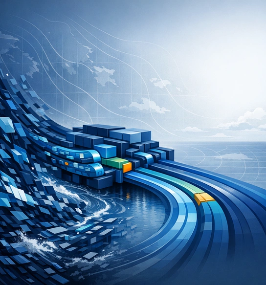
A global climate data platform needed reliable infrastructure to transform massive volumes of weather information into structured, accessible datasets for researchers and environmental systems. We engineered resilient data pipelines capable of running continuously at scale, supporting forecasting models and a growing ecosystem of climate applications.
Solution areas
- Data Engineering
- Climate Data Infrastructure
- Pipeline Development
- Scientific Data Processing

Latest geospatial insights
Explore our latest perspectives on geospatial technology, remote sensing, earth observation, artificial intelligence, spatial analytics, and the innovations shaping the future of location intelligence.
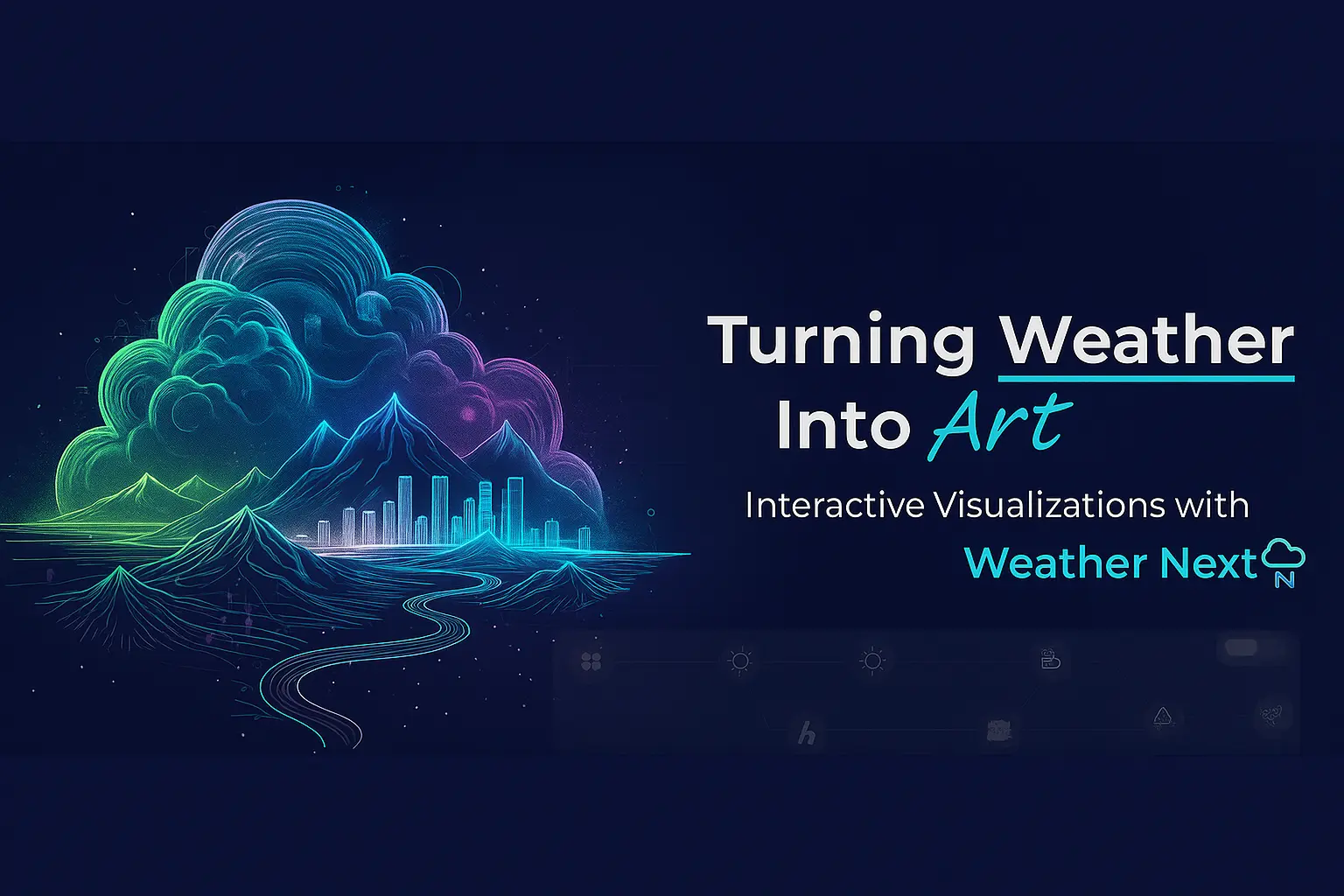 Turning Weather Into Art: Interactive Visualizations with Weather NextIn today's world, weather information is more important than ever, and it is a significant challenge to make it easy for people to see and understand weather patterns. Websites like windy.com have...
 13 min read
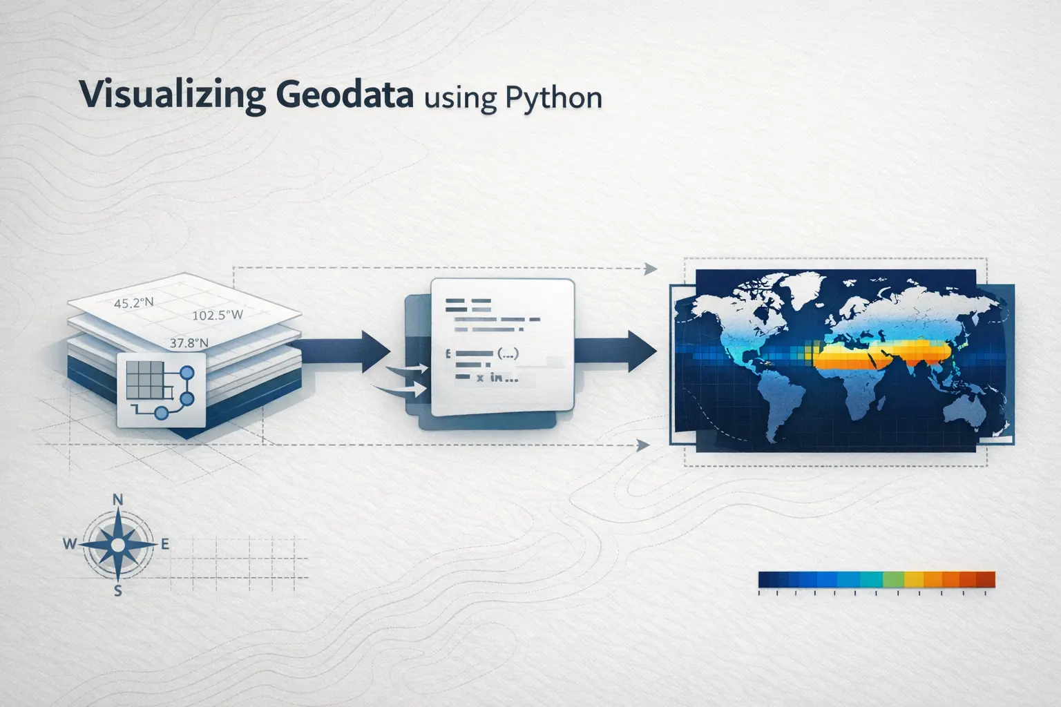 Visualizing Geodata using PythonVisualizing data is one of the most fun parts of studying it. This blog is an introduction to plotting and visualizing geo data using Python.4 min read
 Apache Airflow 101In the fast-paced world of data engineering, keeping your workflows in sync is like conducting a digital symphony. That’s where orchestration tools come in – and Apache Airflow is one of the standout...12 min read

We’d love to hear from you
Contact us regarding any concerns or inquiries.
Message Sent!
Thanks for reaching out! We'll get back to you shortly.
Common questions
-
We work with organizations involved in earth observation, mapping, environmental monitoring, climate research, infrastructure planning, smart cities, and other geospatial initiatives. Our engineering teams build scalable technology solutions that support complex spatial data workflows.
-
Our expertise includes geospatial software engineering, GIS platforms, remote sensing, spatial analytics, artificial intelligence, cloud engineering, data processing, and visualization solutions designed for large-scale geospatial applications.
-
Yes. We develop scalable processing pipelines that efficiently manage large geospatial datasets from satellite imagery, sensor networks, and remote sensing platforms while enabling real-time analysis and visualization.
-
Artificial Intelligence helps automate feature extraction, improve image analysis, identify spatial patterns, support predictive modelling, and accelerate decision-making from complex geospatial datasets.
-
Yes. We help organizations modernize legacy GIS systems, migrate geospatial workloads to cloud platforms, integrate multiple data sources, and build future-ready geospatial applications.
-
Every engagement begins with understanding your business objectives, technology landscape, and operational challenges. We work closely with your team to define the right approach and build solutions aligned with your strategic goals.